ELEME - Online store

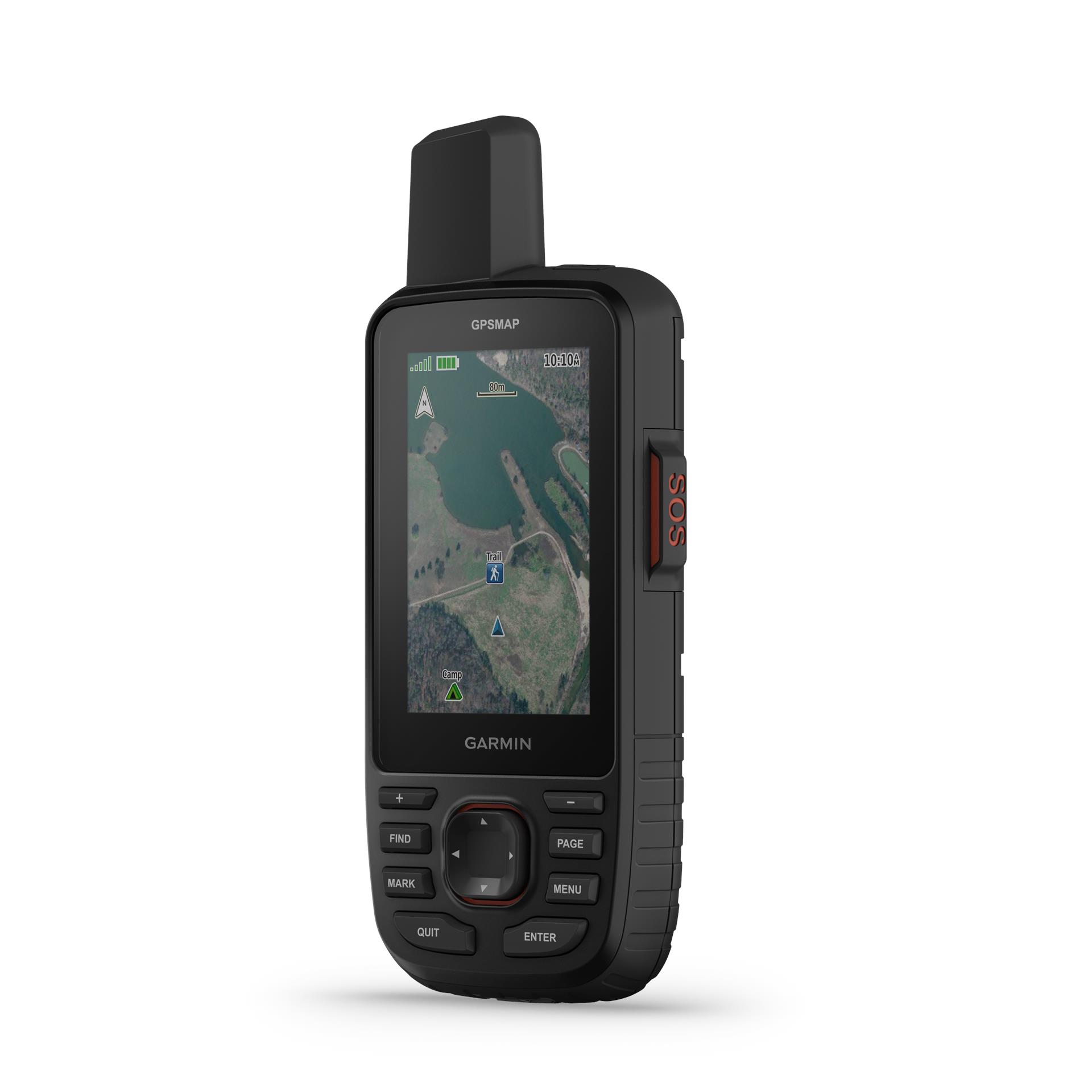
Garmin GPSMAP 67i EU GPS satellite communicator

Garmin
Brand: Garmin
SKU: 010-02812-01

€649.99
Product is orderable


  • N/A

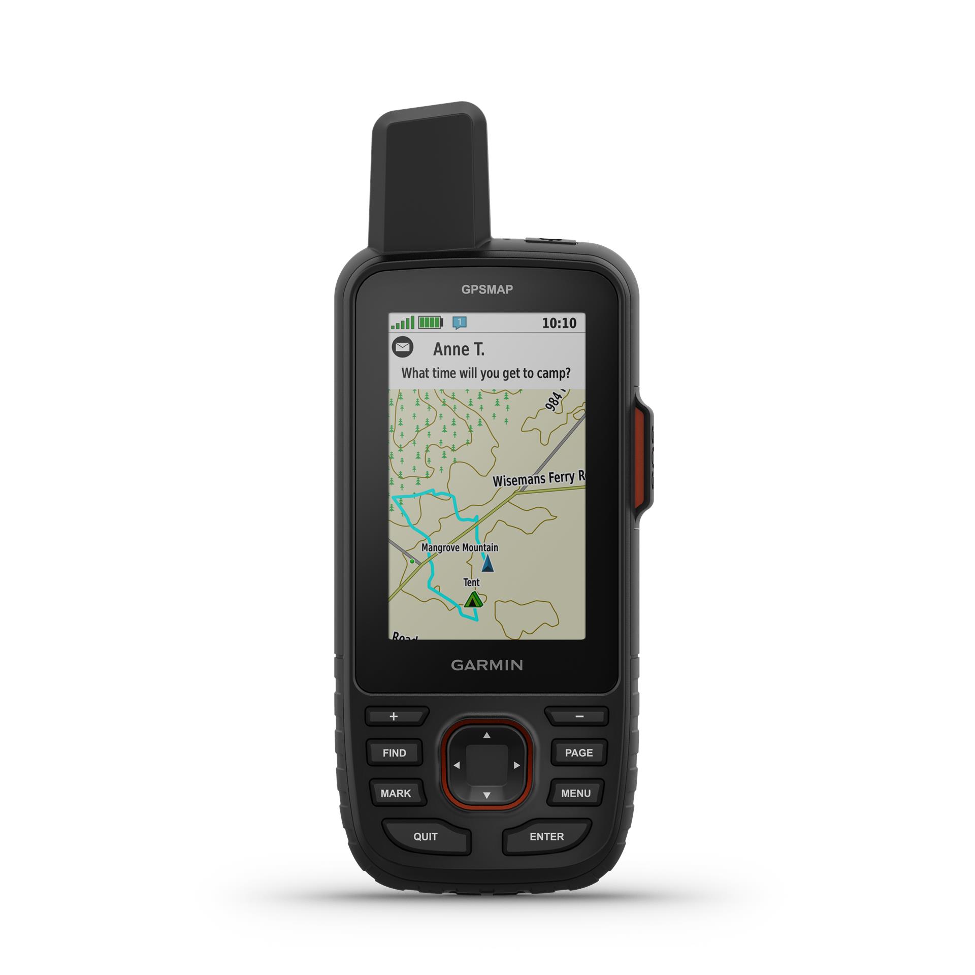
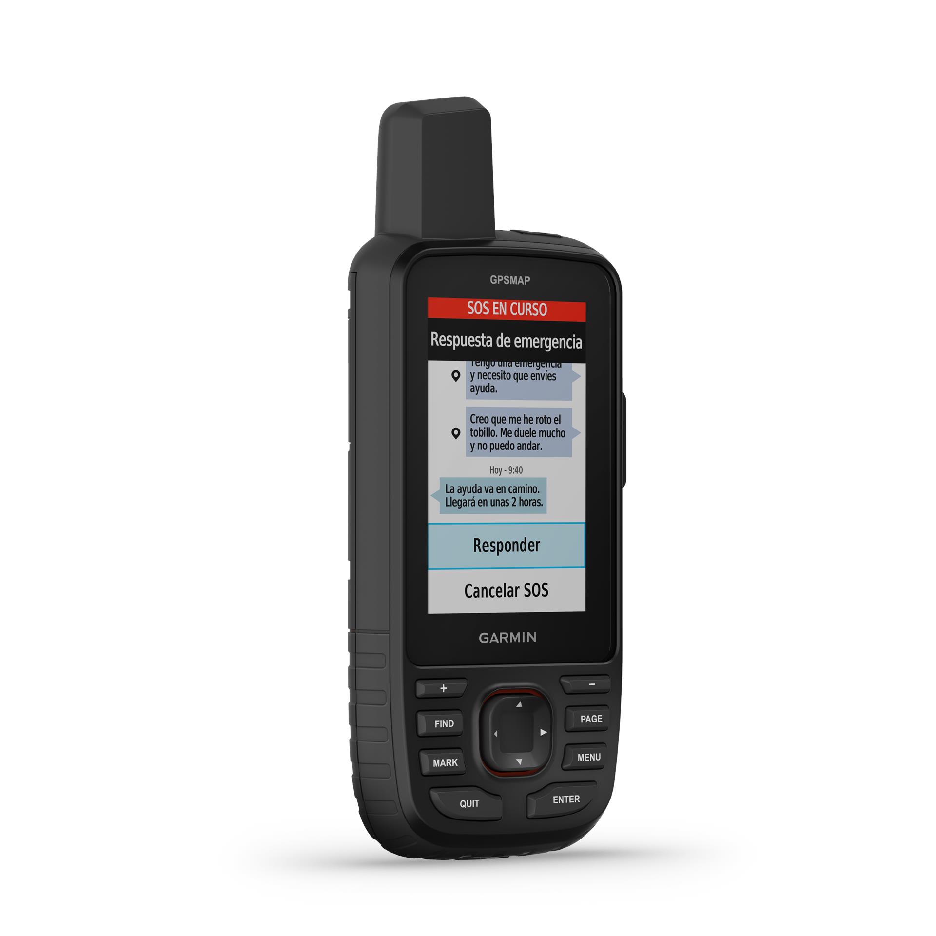
  • Yes (direct to device)

  • Yes

  • Yes

  • 6,2 x 16,3 x 3,5 cm (2,5″ x 6,4″ x 1,4″)

  • 3,8 x 6,3 cm (1,5″W x 2,5″H ); 7,6 cm diag (3″)
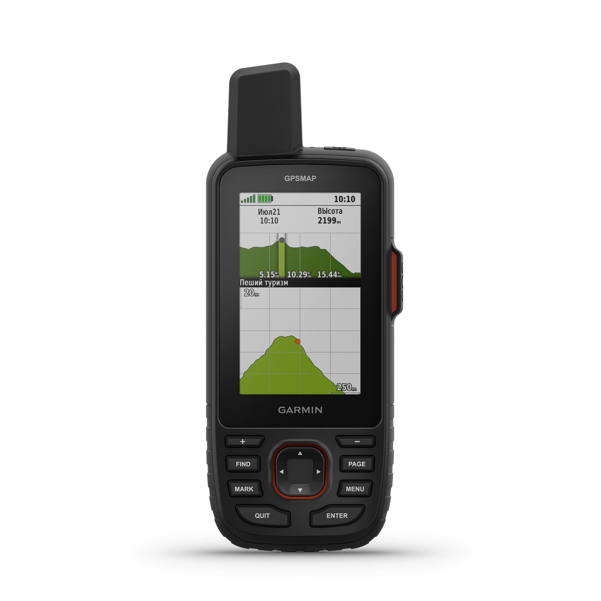
  • 240 x 400 piks

  • Transflective colors TFT

  • 230,00

  • Rechargeable, internal lithium ion

  • Up to 165 hours with inReach® enabled and 10 minutes of tracking Up to 180 hours in GPS mode Up to 425 hours in Expedition mode with inReach enabled Up to 425 hours in Expedition mode

  • IPX7

  • Yes (heat, shock, water); only the device itself

  • USB-C

  • 16 GB (the amount of memory available to the user varies based on the bundled card)

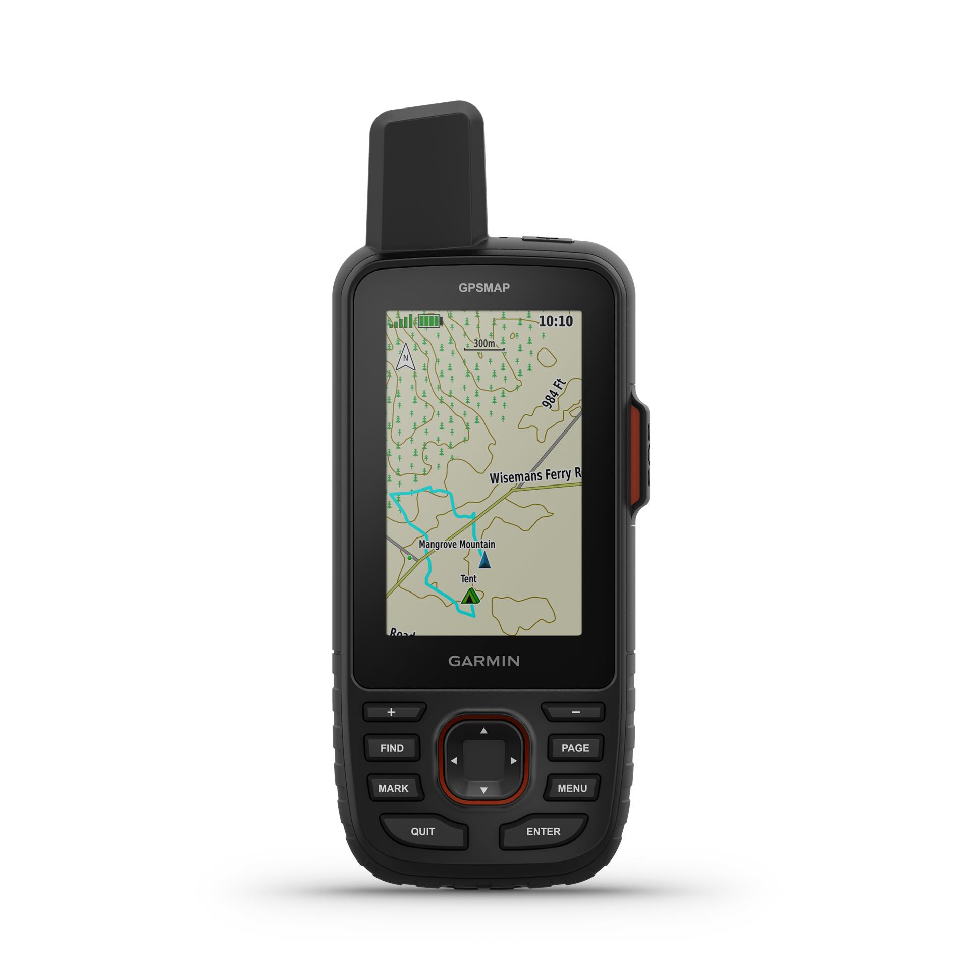
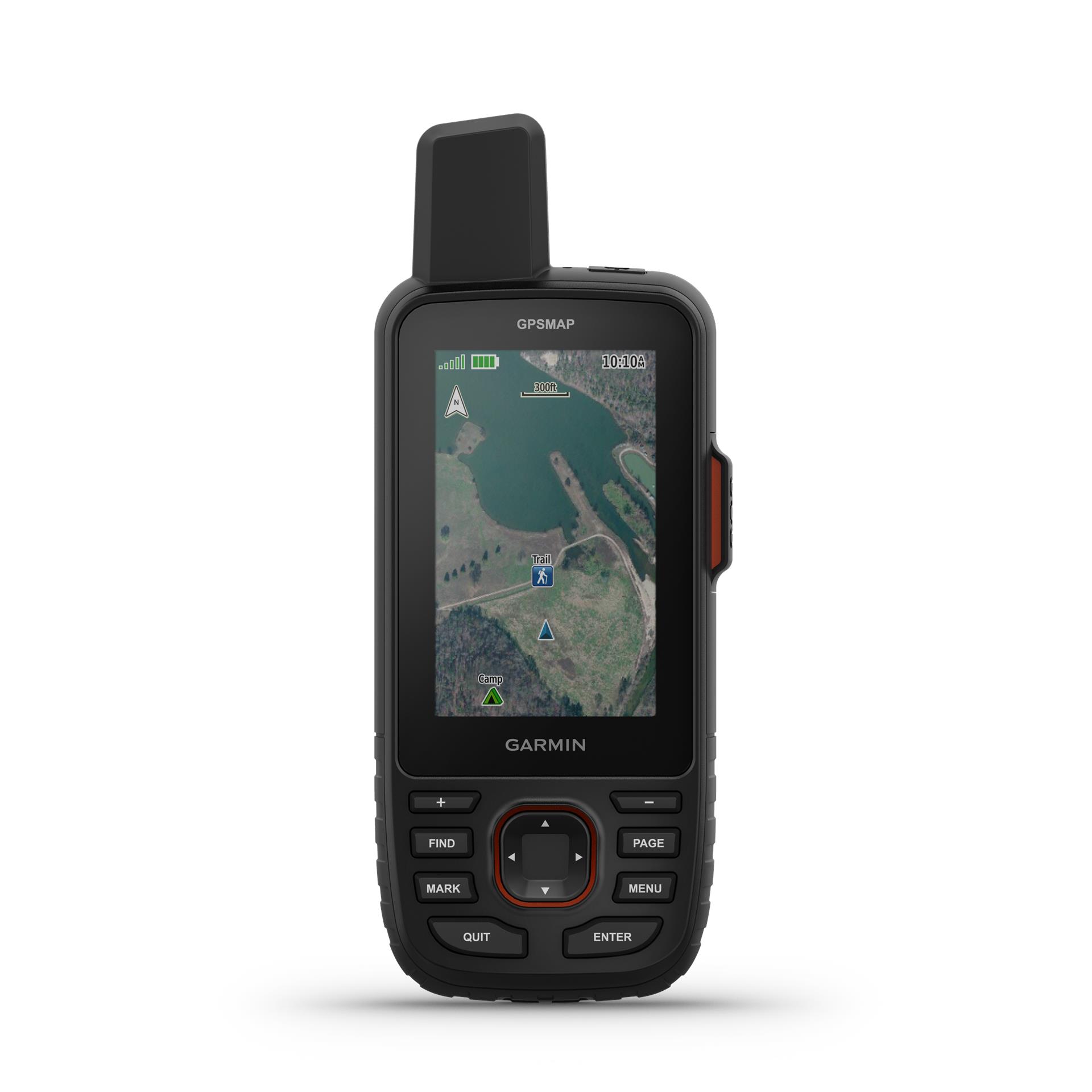
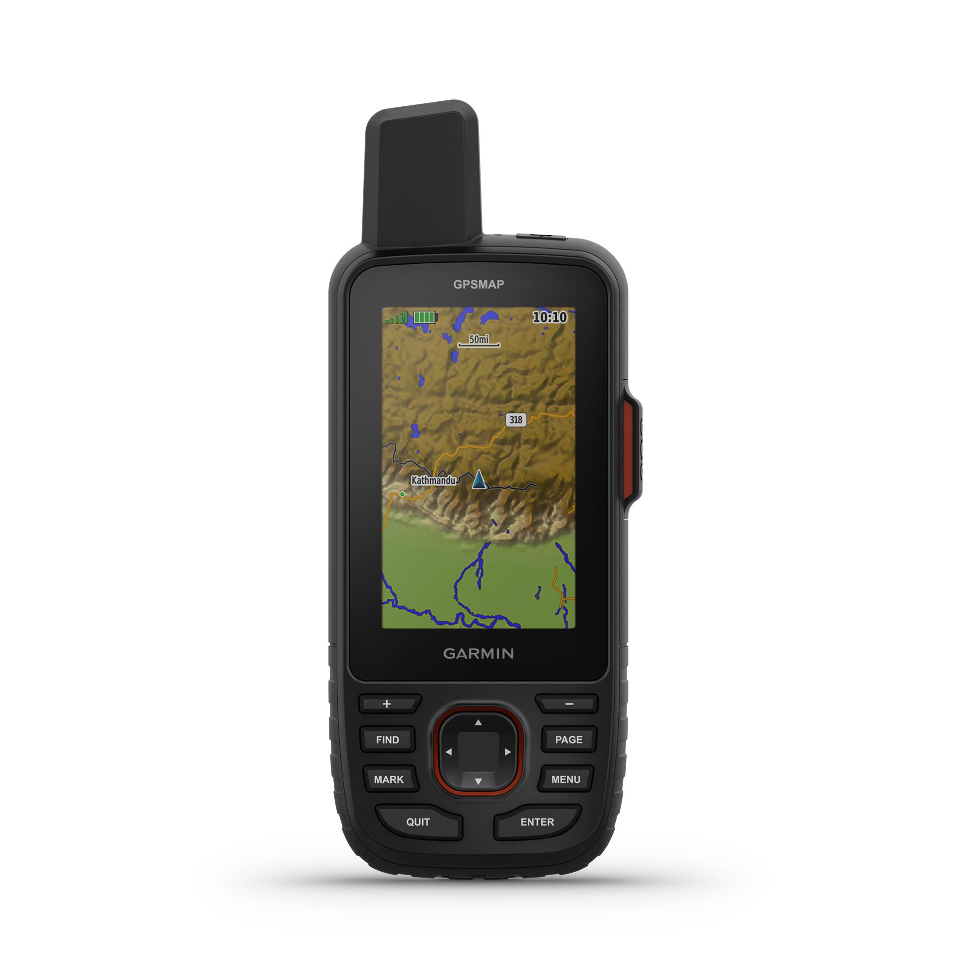
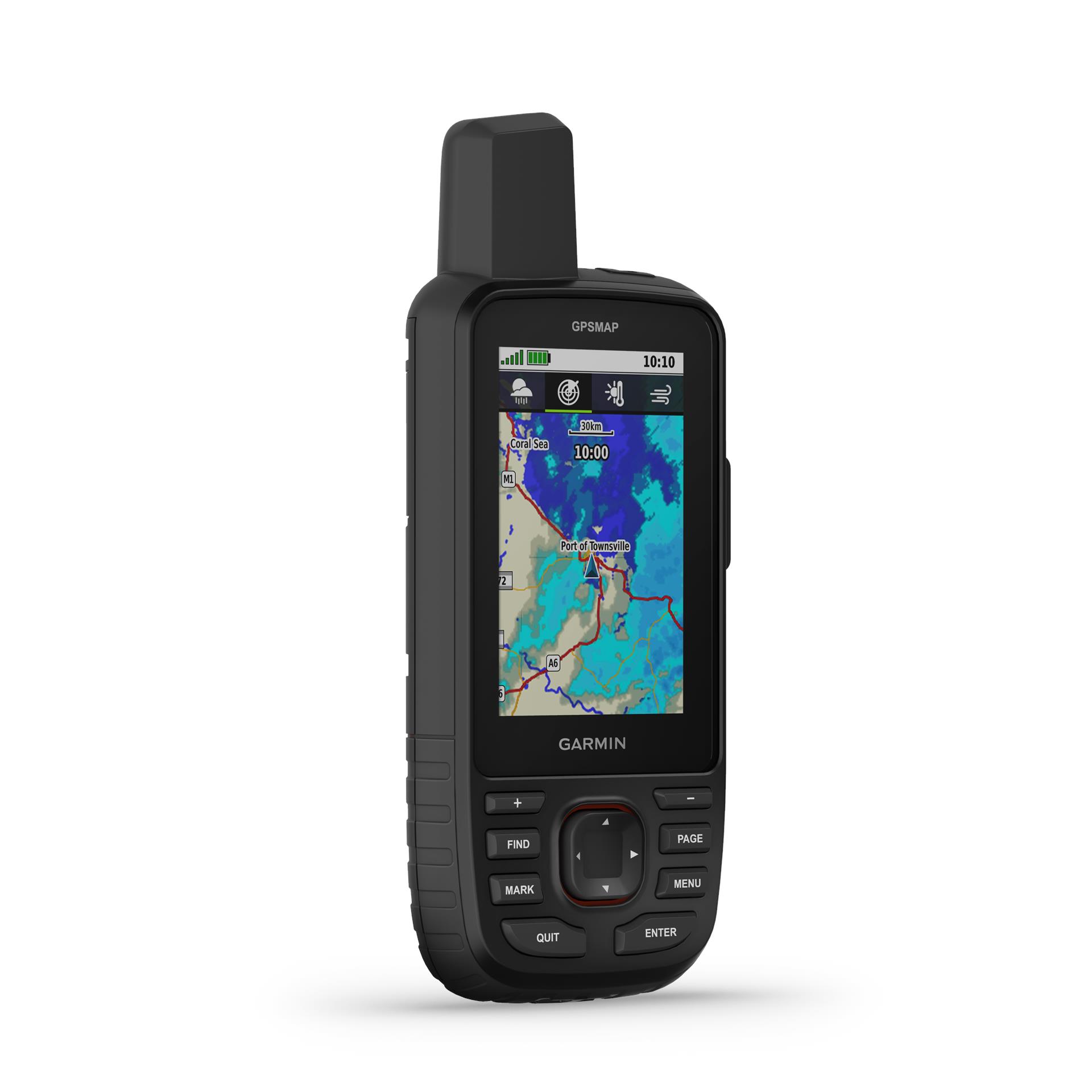
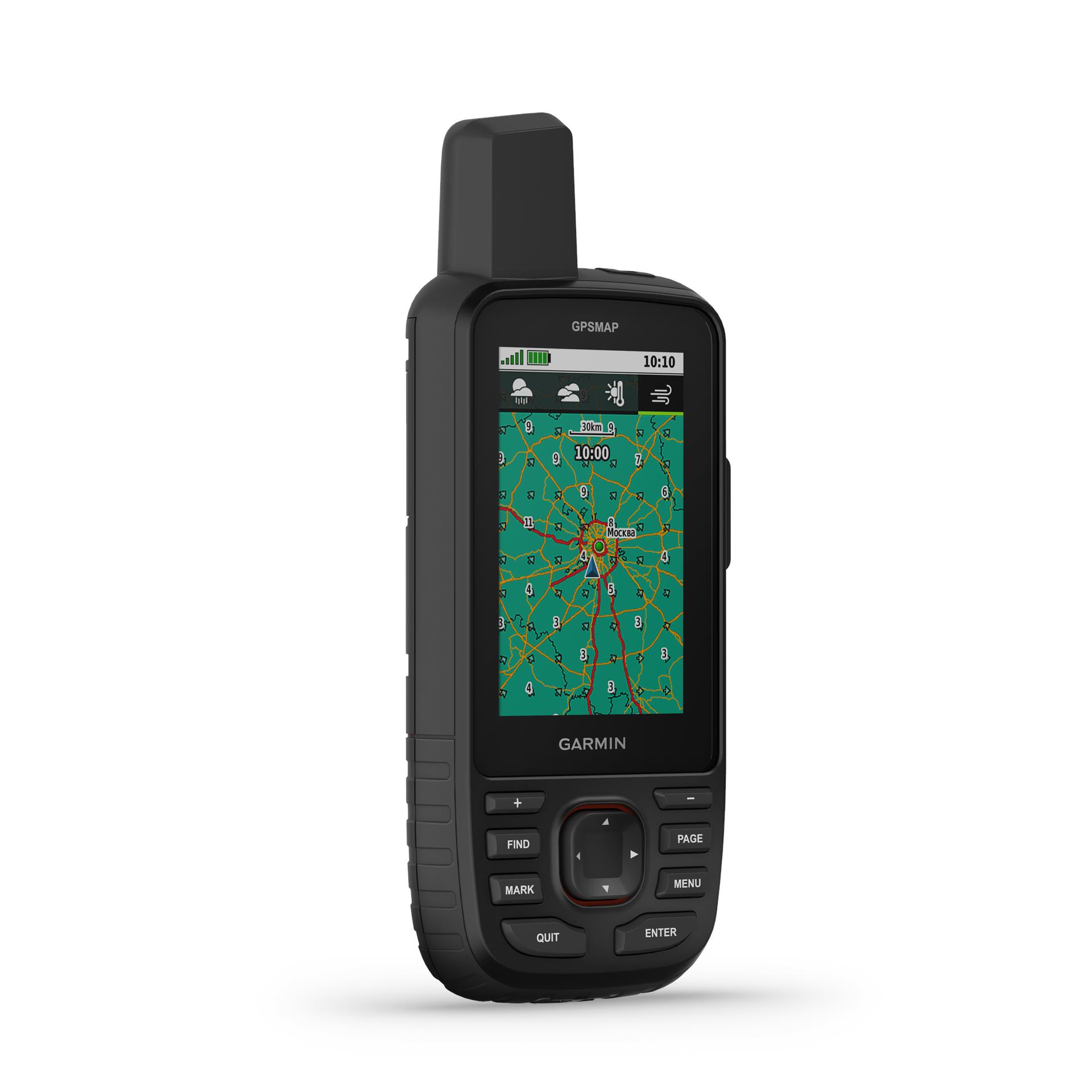
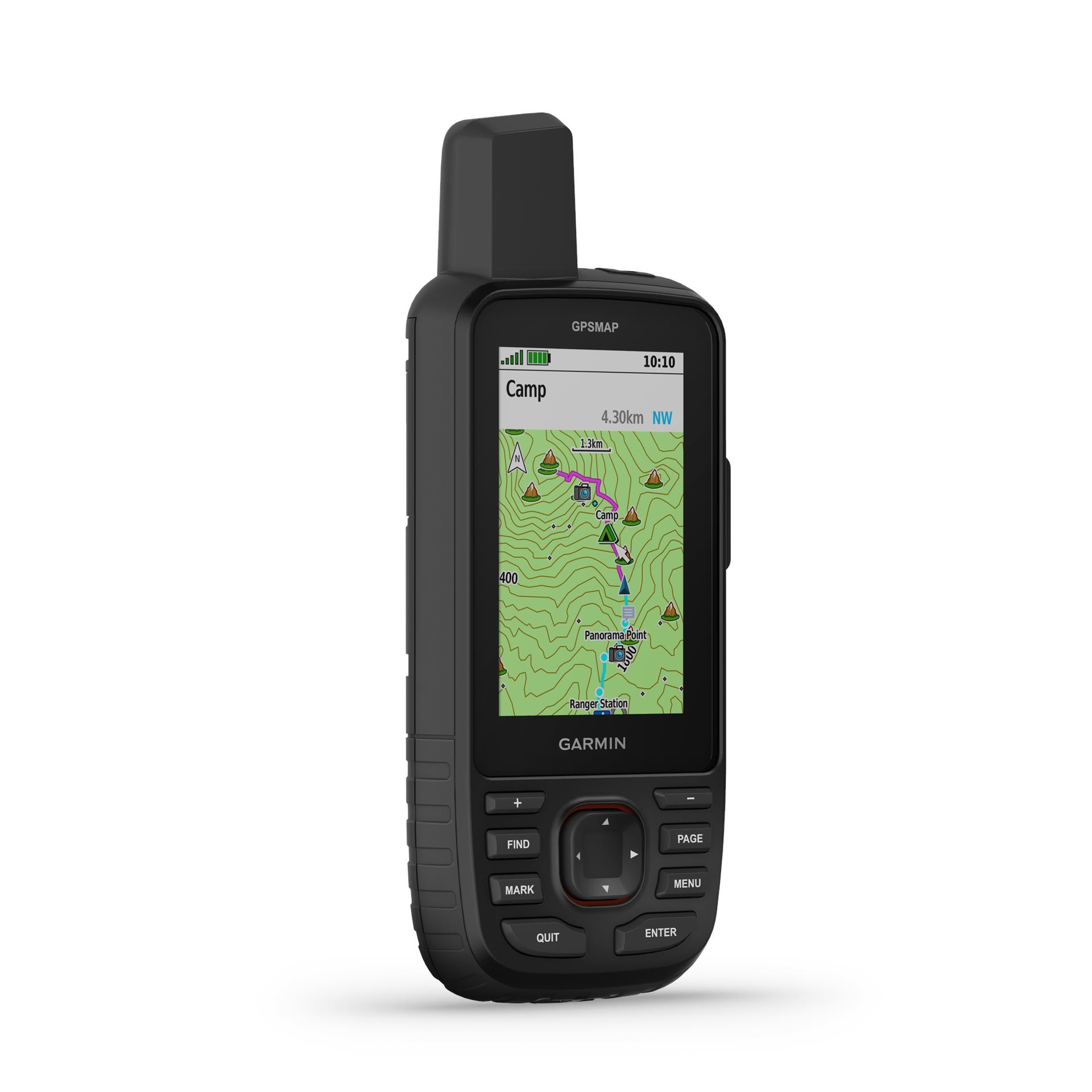
  • Yes (TopoActive Europe; routable)

  • Yes

  • Yes

  • 15 000

  • Yes

  • Yes

  • Yes

  • Yes

  • Yes (microSD card maximum 32 GB)

  • 10 000

  • 250

  • 20,000 points, 250 .gpx saved tracks, 300 .fit saved activities

  • 200, 250 waypoints; 50 points for automatic referral.
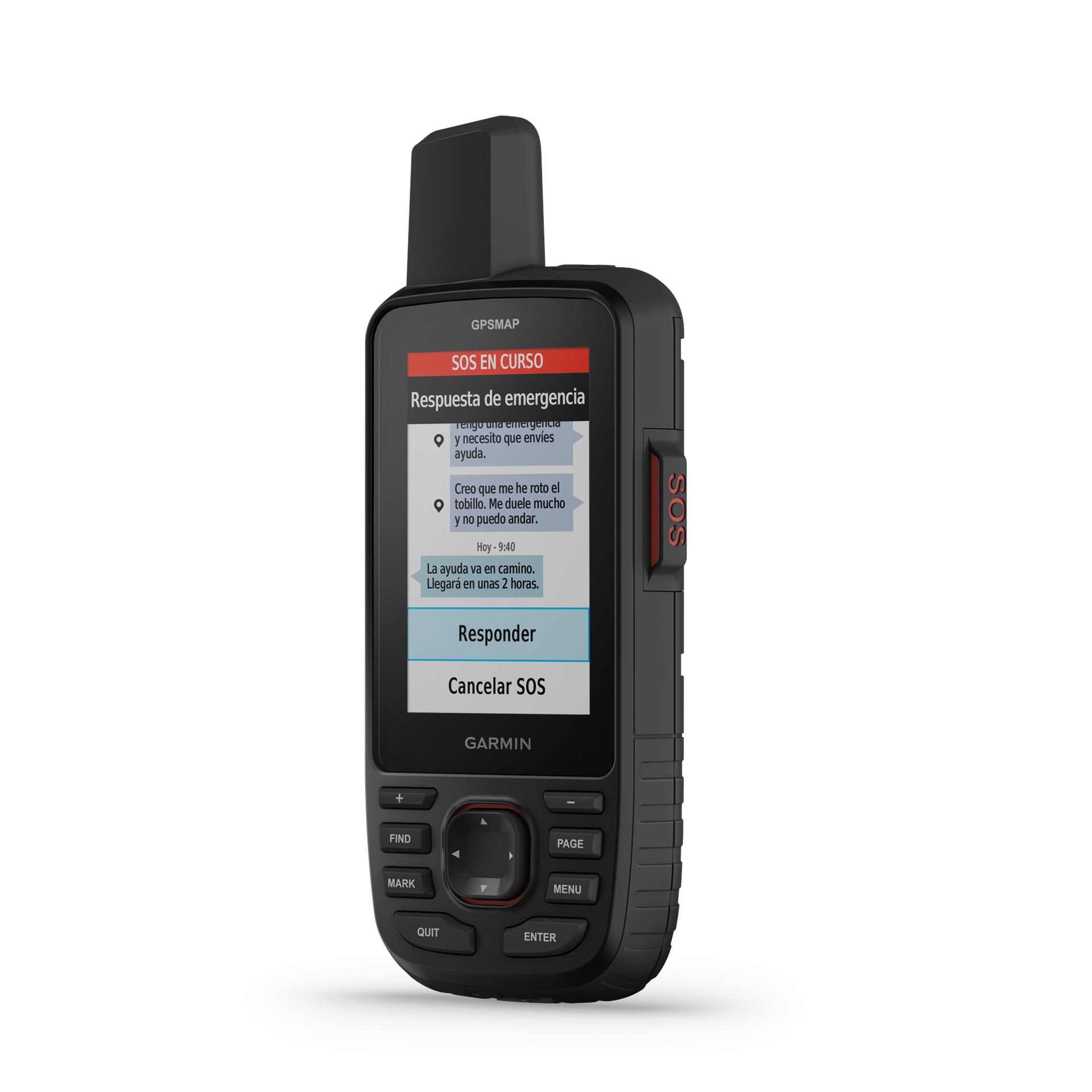
  • Yes

  • N/A

  • Yes

  • Yes

  • Yes (Geocache Live)

GO EXPLORE THE OUTDOORS - AND STAY CONNECTED TO HOME
Make more time for adventure with this premium, rugged handheld GPS and satellite communicator. Get inReach® technology that enables two-way messaging, interactive SOS alerts and location sharing plus mapping to keep you on course.

- Travel longer with up to 165 hours of battery life in tracking mode and up to 425 hours in expedition mode.

- Two-way messaging lets you share the moment with the ones who matter.

- Let your loved ones follow your adventure with location tracking.

- Have an emergency? Trigger an interactive SOS alert anytime, globally.

- Track your position in challenging conditions with multi-band technology and expanded GNSS support.


Discover new favourite places.

MULTI-BAND GNSS SUPPORT
Access multiple global navigation satellite systems (GPS, Galileo and QZSS). Get access to multiple frequencies sent by navigation satellites for improved position accuracy in areas where GNSS signals are reflected, weak or typically don't penetrate.

ABC SENSORS
Navigate every trail with ABC sensors, including an altimeter for elevation data, barometer to monitor weather and 3-axis electronic compass.

SATELLITE IMAGERY
Download high-resolution photorealistic maps directly to your device via Wi-Fi® technology. Easily find trails, pick stand locations and parking, create waypoints and more.

PRELOADED TOPOACTIVE EUROPE MAPS
Preloaded TopoActive Europe maps show you summits, parks, coastlines, rivers, lakes and geographical points.

PREMIUM MAP FEATURES
With an Outdoor Maps+ subscription, you get public land information, landowner names, state plat maps, BLM boundaries and more.

BATTERY LIFE
Turn on expedition mode, and get up to 425 hours of battery life while using inReach technology. In the default tracking mode, you get up to 165 hours of battery life, and your device will save your location every 10 minutes.

Keep in touch on the trail.

TWO-WAY MESSAGING
Exchange text messages with loved ones, post to social media, or communicate from inReach to inReach in the field.

INTERACTIVE SOS ALERTS
In case of emergency, trigger an interactive SOS message to the Garmin ResponseSM centre, a 24/7-staffed professional emergency response coordination centre.

LOCATION SHARING
Track your location and share it with those at home or out in the field. They'll be able to see your progress or ping your device for your GPS location and more.

100% GLOBAL IRIDIUM® SATELLITE NETWORK
Instead of relying on mobile phone coverage, now your messages, SOS alerts and tracking are transferred via the global Iridium satellite network.

GARMIN MESSENGER™ APP
Download the Garmin Messenger app to your compatible smartphone, and pair it with your GPSMAP® 67i handheld GPS for fast, easy messaging and 24/7 SOS that's not limited to mobile phone coverage areas. The app supports group messaging as well.

GARMIN EXPLORE™ APP
Plan, review and sync waypoints, routes and tracks by using the Garmin Explore app and website. You can even review completed activities while still in the field.

OPTIONAL INREACH WEATHER
Use inReach connectivity to get detailed weather updates on the GPSMAP 67i handheld GPS. Request weather forecasts for your current location, waypoints or destinations on your route.

ACTIVE WEATHER
When connected to the Garmin Explore smartphone app , you can get real-time forecast information, so you're aware of the changing conditions.

Find your way for days.

BUILT FOR ADVENTURE
This handheld is built to military standards for thermal, shock and water performance (MIL-STD-810), and it's even compatible with night vision goggles.

LED FLASHLIGHT
The GPSMAP 67 series handheld helps you keep gear to a minimum with a built-in LED flashlight that can be used as a beacon to signal for help.

GEOCACHING
Get automatic cache updates from Geocaching Live, including descriptions, logs and hints. When connected via Wi-Fi technology or to the Garmin Explore™ smartphone app, each find will upload to your Geocaching.com profile.